
 Shevchenko
Sumy
Shevchenko
Sumy  Chernihiv
Cherkasy
Bohdan
Khmelnytskyi
Makiivka
Kirova
Kramatorsk
Kyiv
Frunze
Kharkiv
Kherson
Odessa
Chernihiv
Cherkasy
Bohdan
Khmelnytskyi
Makiivka
Kirova
Kramatorsk
Kyiv
Frunze
Kharkiv
Kherson
Odessa
Chernivtsi on the map, Ukraine
Where is located Chernivtsi
Exact location — Chernivtsi, Chernivets'ka oblast, Ukraine, marked on the map with a red marker.
Coordinates
Chernivtsi, Ukraine coordinates in decimal format: latitude — 48.2920787, longitude — 25.9358367. When converted to degrees, minutes, seconds Chernivtsi has the following coordinates: 48°17′31.48 north latitude and 25°56′9.01 east longitude.
Population
Chernivtsi, Chernivets'ka oblast, Ukraine, according to our data the population is — 236,250 residents, which is about 0.5% of the total population of the country (Ukraine).
Comparison of the population on the graph:
Exact time
Time zone for this location Chernivtsi — UTC +3 Europe/Kiev. Exact time — monday, 5 may 2024 year, 01 h. 36 minutes.
Sunrise and sunset
Chernivtsi, sunrise and sunset data for a date — monday 20.05.2024.
| Sunrise | Sunset | Day (duration) |
|---|---|---|
| 05:33 -1 minute | 20:51 +1 minute | 15 h. 18 minutes. +2 minutes |
You can control the scale of the map using the auxiliary tools to find out exactly where it is located Chernivtsi. When you change the scale of the map, the width of the ruler also changes (in kilometers and miles).
Nearby cities
The largest cities that are located nearby:
- Suceava
 (Romania) — 75 km
 - Botoșani (Romania) — 81 km
- Piatra Neamț (Romania) — 154 km
- Balti
 (Moldova) — 159 km
 - Iași (Romania) — 177 km
- Baia Mare (Romania) — 188 km
- Bacău (Romania) — 203 km
- Satu Mare (Romania) — 233 km
- Cluj-Napoca (Romania) — 245 km
- Rivne — 258 km
- Chisinau (Moldova) — 266 km
- Uzhhorod — 269 km
- Zhytomyr — 290 km
- Brașov (Romania) — 291 km
- Focșani (Romania) — 302 km
- Sibiu (Romania) — 309 km
- Bender (Moldova) — 312 km
- Nyíregyháza
 (Hungary) — 314 km
 - Oradea (Romania) — 331 km
Distance to neighboring capitals:
- Chisinau (Moldova) — 266 km
- Bucharest (Romania) — 430 km
- Budapest (Hungary) — 522 km
- Warsaw
 (Poland) — 560 km
 - Belgrade
 (Serbia) — 573 km
 - Minsk
 (Belarus) — 634 km
 - Bratislava
 (Slovakia) — 654 km
 - Sofia
 (Bulgaria) — 655 km
 - Vienna
 (Austria) — 708 km
 - Vilnius
 (Lithuania) — 713 km
 - Prague
 (Czech Republic) — 858 km
 - Rīga
 (Latvia) — 971 km
 - Moscow
 (Russia) — 1150 km
 - Helsinki
 (Finland) — 1323 km
 - Tbilisi
 (Georgia) — 1647 km
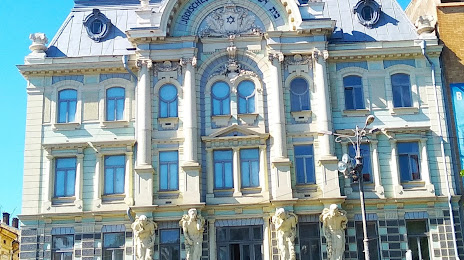
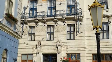
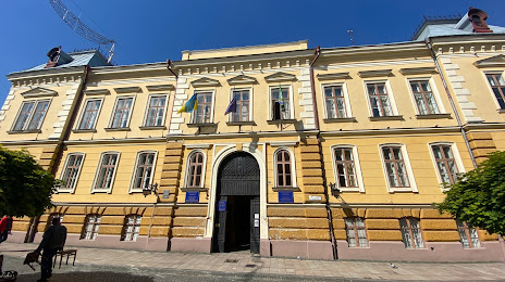
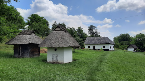
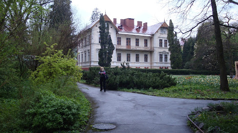
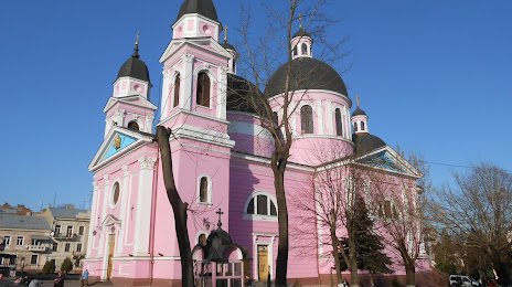
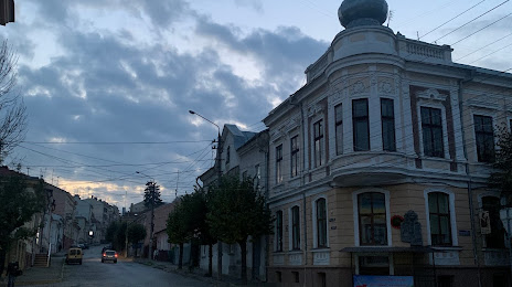
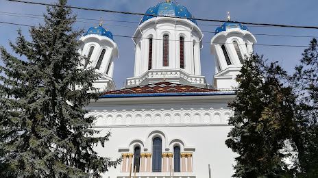
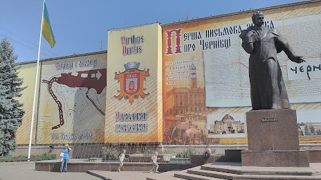
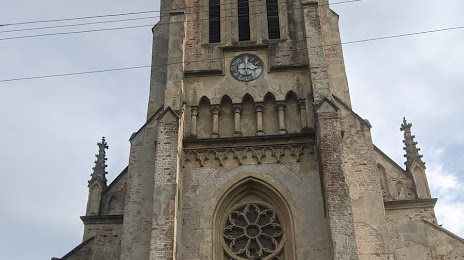
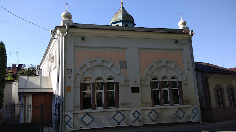
Attractions


Distance to the capital
Distance to the capital (Kyiv) is about — 410 km.